Regional Parks & Trails near Vilnius
The forest and cliff country on Vilnius's doorstep — Pavilniai's Pūčkoriai outcrop, the Verkiai estates and ravines, the Sapieginė hills and Visoriai woods — with the best loop walks, how to reach each trailhead and what to expect underfoot.
- ✓Pavilniai Regional Park and the 65-metre Pūčkoriai outcrop, the city's highest cliff
- ✓Verkiai Regional Park — Baroque estate, mill and forested Neris bends
- ✓The hilly Sapieginė and Visoriai forest trails, reachable without leaving the city
- ✓Loop walks, river views and a former water-mill restaurant at the Pūčkoriai trailhead
Forest and cliff country on the doorstep
One of the quiet pleasures of Vilnius is how fast the city gives way to real nature. Two regional parks bracket the eastern and northern edges — Pavilniai and Verkiai — and inside the ring road, ridges like Sapieginė and the Visoriai woods offer genuine forest walking a bus ride from the Old Town. This is the category for travellers who want hills, ravines, river bends and birdsong rather than ornamental flowerbeds; for the city's landscaped greens, see the parks and gardens directory instead.
The trails here are mostly easy-to-moderate: well-trodden paths, some climbing and the occasional muddy stretch after rain, on loops you can finish in one to three hours. They reward sturdy shoes and a half-day, and they slot neatly between sightseeing and a day trip. Several of these regional parks also have their own day-trip pages with deeper route notes; this page gathers them so you can choose the right patch of forest for your mood and your weather.
What makes Vilnius unusual is the sheer accessibility of this nature. In most capitals you would drive an hour to reach a 65-metre cliff or a proper forest ridge; here you reach them on a city bus or a short suburban train. That changes how you can use them — a Pavilniai loop or a Sapieginė climb is a realistic morning before lunch in the Old Town, not an expedition. The flip side is that these are protected landscapes used by locals every day, so stick to the marked paths, take your litter home, and keep dogs under control where signs ask.
Pavilniai Regional Park and the Pūčkoriai outcrop
Pavilniai is the showpiece. Established in 1992 and covering roughly 2,100 hectares east of the centre, the park is built around the Vilnelė river valley and the Pūčkoriai outcrop — a 65-metre cliff face that is the highest geological exposure in the Vilnius area, with a small waterfall and layers of soil more than 20,000 years old on display. The classic walk is the Pūčkoriai cognitive trail, a roughly 5-kilometre loop that climbs to viewpoints over the gorge and drops to the riverside path; a former water-mill restaurant near the trailhead makes a natural start and finish.
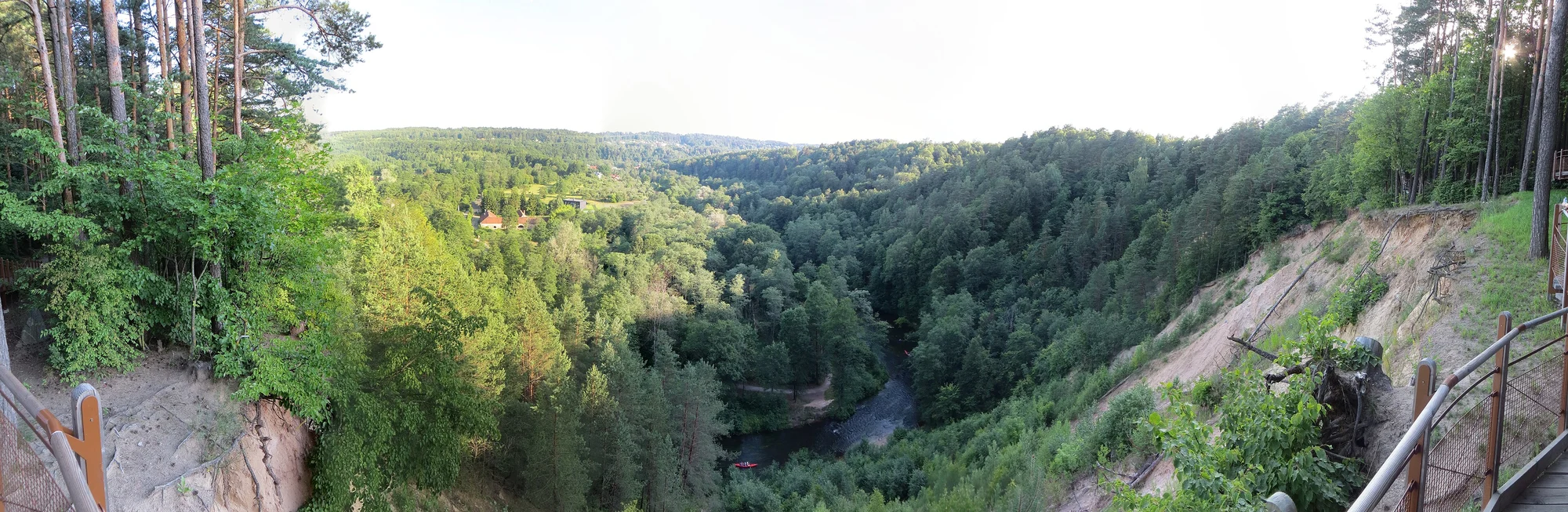
Getting there is straightforward: bus 74 from the Žaliasis tiltas (Green Bridge) area runs toward Belmontas, or you can take a short train to the Pavilnys stop. Drivers usually park at the end of Belmonto gatvė and follow the path clockwise up the river. Allow two to three hours for the full loop with photo stops, and expect some mud after wet weather — this is a real forest valley, not a paved promenade.
- Pūčkoriai outcrop — a 65-metre cliff, the highest exposure in the Vilnius area
- Pūčkoriai cognitive trail — a ~5 km forest-and-river loop with viewpoints
- Reach it by bus 74 toward Belmontas, the Pavilnys train stop, or by car
- Allow 2–3 hours; expect mud after rain and bring proper footwear
Full route notes, timings and access for the Pūčkoriai gorge.
Sapieginė TrailHilly forest walking and trail running inside the city.
Viewpoints & photo spotsThe lookouts that pair with these forest trails.
Map pins
Map data © OpenStreetMap contributors · Tiles © OpenFreeMap
Verkiai, Sapieginė and the Visoriai woods
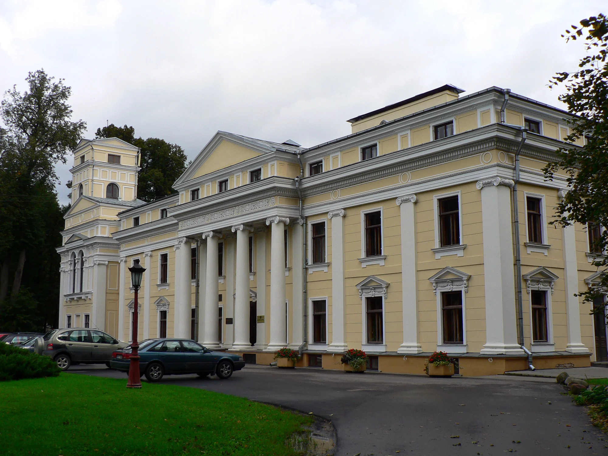
North of the centre, Verkiai Regional Park combines forest with heritage: a Baroque palace ensemble, a historic water mill and the wooded bends of the Neris, with trails that link the estate to riverside paths and the edge of the Green Lakes. It is a gentler, more pastoral counterpart to Pavilniai's drama and easy to combine with the lakes for a longer day outdoors.
Closer in, the Sapieginė Trail threads a surprisingly steep, wooded ridge that locals use for trail running and brisk walks — genuine hills without leaving Vilnius — while Visoriai Forest Park offers a quieter web of paths through hilly woodland on the northern fringe. The 17th-century Vilnius Calvary Way of the Cross adds a contemplative route through the same green hills, where a historic pilgrimage trail doubles as a peaceful forest walk.
These northern parks repay a little planning. Verkiai's estate and the Green Lakes sit close enough to chain into one long, satisfying day, mixing heritage, forest and a swim; Sapieginė and Visoriai, by contrast, are best as short, sharp efforts when you only have a couple of hours and want air and exercise. If you are gear-minded, the city's outdoor-equipment shops — Montis Magia among them — are a useful stop to pick up trail shoes or a rain layer before heading out, since the trailheads themselves have no facilities.
- Verkiai Regional Park — Baroque estate, water mill and forested Neris bends
- Sapieginė Trail — steep wooded ridge for walking and trail running in the city
- Visoriai Forest Park — quiet hilly woodland paths on the northern edge
- Vilnius Calvary Way of the Cross — a 17th-century pilgrimage route through the hills
Planning a trail day
These are open public landscapes — free to enter, open year-round and best matched to the season. Late spring and early autumn are ideal: firm ground, mild air and, in October, the famous Baltic gold in the forest canopy. Summer adds shade and swimming spots along the rivers; winter turns the same trails into crisp, sometimes icy walks where good grip matters. There are few facilities on the trails themselves, so carry water, check daylight hours in winter and tell someone your route if you are heading out alone.
For transport, the city buses and the suburban train reach the main trailheads, but services thin in the evening, so plan your return. If you want a fuller day, combine a forest loop with the lakes or one of the regional-park day trips; if you only have a couple of hours, the in-city ridges of Sapieginė and Visoriai are the easiest wins. Use the See & Do hub to slot a trail into a wider Vilnius plan.
Related guides
Parks & Gardens in Vilnius
Vilnius's parks and gardens — from the Old Town's Bernardine Garden and the riverside cherry park to the vast Vingis Park and quiet hilltop greens — with where to find them, what each is good for and how to string them into an easy green day.
Read guide
Sapieginė Trail
A hilly forest trail network in the Antakalnis district, a quick nature escape inside Vilnius prized by walkers and trail runners for its winding paths, varied terrain and hidden historical bunkers — just bring a map, as signage is sparse.
Read guide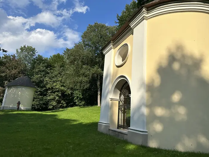
Visoriai Forest Park
A quiet, hilly woodland park on the northern edge of Vilnius, laced with walking trails — a low-key local favourite for relaxed strolls and dog walks.
Read guide