Vilnius Calvary Way of the Cross
A 17th-century pilgrimage route in Verkiai Regional Park, laid out to mirror Jerusalem's path of suffering — a Baroque church, chapels and gates among wooded hills and streams north of the city.
- ✓A 17th-century Way of the Cross laid out to mirror the topography of Jerusalem
- ✓Centred on the Baroque Church of the Discovery of the Holy Cross
- ✓Chapels and gates set among wooded hills, valleys and streams in Verkiai Regional Park
- ✓Hills and brooks renamed for the Holy Land — Golgotha, Mount Zion, the Mount of Olives
- ✓A peaceful 'oasis of nature in the city', good for quiet walks and reflection
What you're seeing
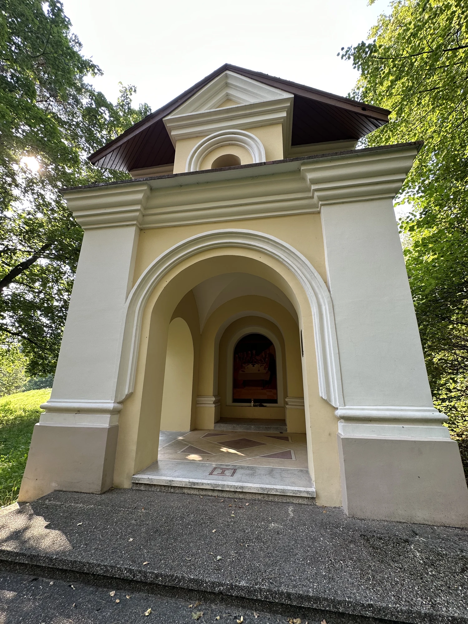
Vilnius Calvary (Vilniaus Kalvarijos) is a Way of the Cross unlike most — a full pilgrimage landscape established in the late 17th century, in the wooded hills of what is now Verkiai Regional Park, in the city's Jeruzalė (Jerusalem) neighbourhood. The project was begun by Vilnius bishop Jurgis Bialozoras as an act of thanksgiving after a period of war and destruction, who gave over land from the Verkiai estate so that the route's hills, valleys and streams could be shaped and renamed to evoke the Holy Land — with rises standing in for Golgotha, Mount Zion and the Mount of Olives.
At the heart of the ensemble stands the Baroque Church of the Discovery of the Holy Cross, with the stations of the route — chapels and gates — threaded through the surrounding hills along a walking path several kilometres long. The Stations of the Cross were banned in the Soviet era and most of the chapels were demolished in 1962, leaving only those nearest the church; after independence the ensemble was rebuilt, and the restored chapels were solemnly blessed again at Pentecost in 2002.
- Founded: late 17th century, by Vilnius bishop Jurgis Bialozoras
- Centrepiece: the Baroque Church of the Discovery of the Holy Cross
- The route's hills and streams were renamed for the Holy Land — Golgotha, Zion, Mount of Olives
- Most chapels were destroyed under Soviet rule in 1962 and rebuilt after 1990 (blessed 2002)
- Location: Verkiai Regional Park, northern Vilnius (Jeruzalė / Kalvarijos)
- Free, open-air; the trail is hilly and several kilometres long
How to make it count
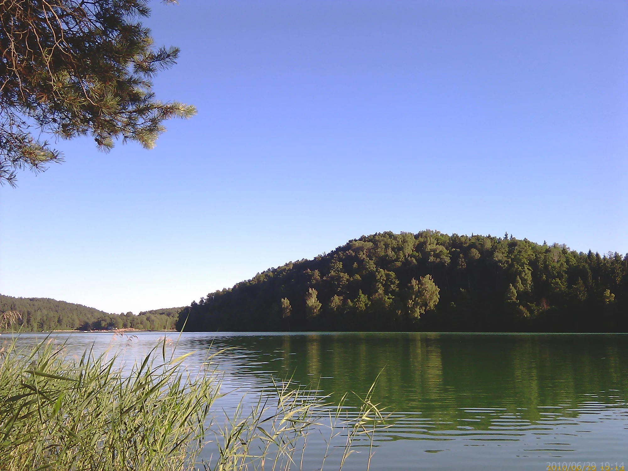
Beyond its religious significance, the Calvary is cherished as a tranquil escape from the city — a green, hilly setting that locals use for quiet walks, jogging and contemplation as much as for pilgrimage. The trails are genuinely scenic, but they can be poorly marked and easy to lose, so bring a map or use a navigation app to follow the full circuit. Allow a couple of hours, wear sturdy shoes for the inclines, and treat the chapels and church as the active place of worship they are. It pairs well with a wider visit to Verkiai Regional Park to the north of the centre.
More of Vilnius's churches, chapels and pilgrimage places.
Best things to do in VilniusWhere this peaceful site fits among the highlights.
Things to do in VilniusBrowse more sights and green escapes across the city.
Map pins
Map data © OpenStreetMap contributors · Tiles © OpenFreeMap
Related guides
Things to Do in Vilnius
The complete guide to things to do in Vilnius — culture and creativity, nature and outdoors, saunas and markets, family days out, and easy escapes beyond the city. Adventures, rituals and slow moments to pencil in.
Read guide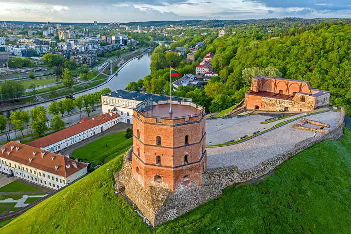
Best Things to Do in Vilnius
A first-trip shortlist of the best things to do in Vilnius — from Gediminas' Tower and the UNESCO Old Town to Užupis, the MO Museum, food halls and Trakai.
Read guide
Old Town (Senamiestis): Neighborhood & Where to Stay Guide
The complete guide to staying in Vilnius's Old Town: the UNESCO-listed historic core, what it's like to be based here, the trade-offs of cobbles and crowds, and how to choose your corner of Senamiestis.
Read guide